“USGS science helps determine the extent and value of mineral production in conflict-prone regions,” said Peter Chirico, associate director of the USGS Florence Bascom Geoscience Center and special advisor to the U.S. Department of State’s Office of Threat Finance Countermeasures, in a statement to The Northern Miner.
“The USGS conducts field investigations, uses satellite imagery, creates geologic maps and publishes reports to pinpoint resource deposits, estimate mineral quantities and determine production capacity,” he says.
“The ability to use satellite imagery to acquire detailed information on artisanal mining activities is invaluable for researchers and policymakers, as it allows us to evaluate challenging and often difficult-to-access regions that also have associated conflict and safety concerns,” said Chirico.
Related: Artisanal mining linked to UN sustainable development goals – report
Minerals are frequently mined by artisanal and small-scale miners, who commonly operate in the informal sector, meaning they are not licensed and don’t own the land on which they mine. They often transport and sell resources outside the legal flow chain in violation of local or national law.
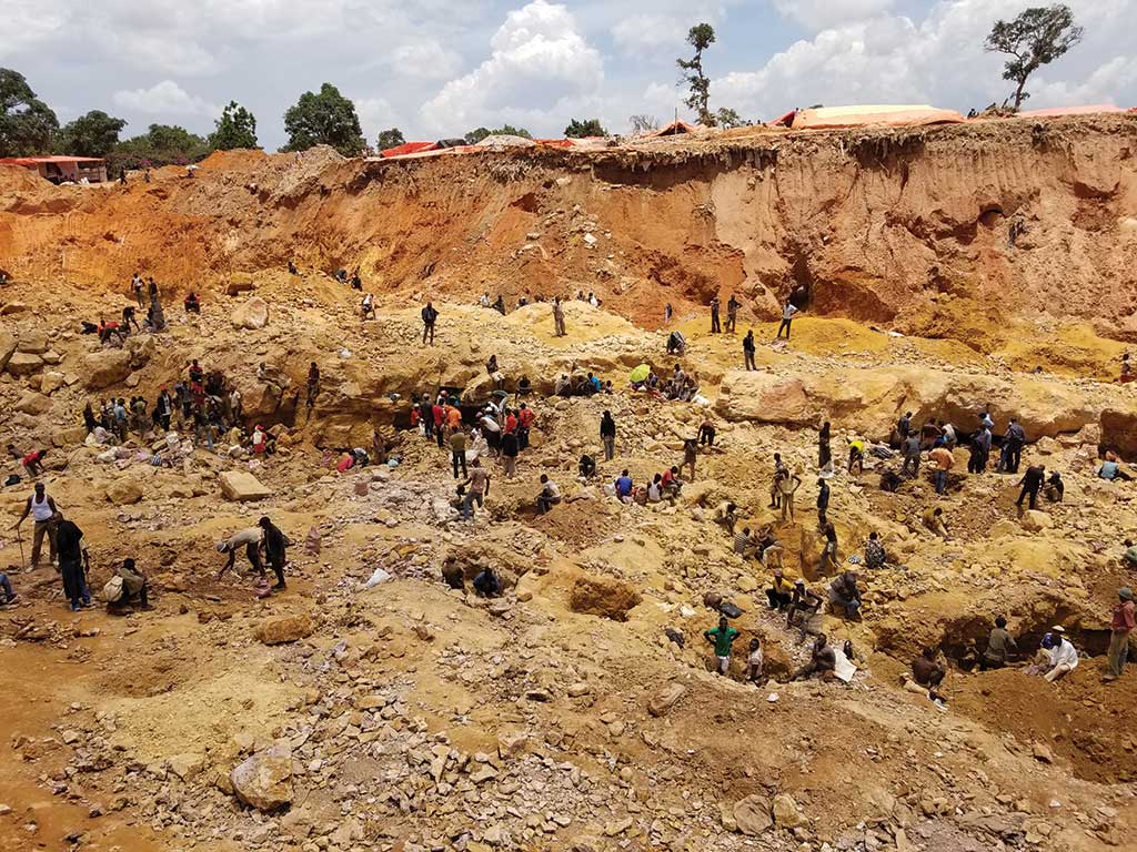
Artisanal and small-scale mining involves individuals or groups of miners using simple tools such as picks and shovels and sometimes larger equipment to dig in river floodplains and sedimentary deposits across large stretches of terrain. Industrial-scale mining occurs at permitted and regulated sites and typically requires heavy infrastructure to extract resources.


