Moreover, the technology can help to monitor artisanal mining activities around Lefa’s current mining permit, allowing local management to better assess and prevent potential safety and security hazards.
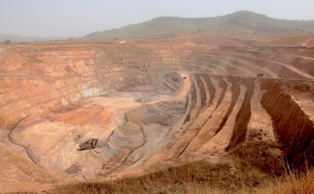
The Lefa mine’s license area currently spans more than 1,100 km2. The latest satellite technology enables cost-effective monitoring of this expanse with regular updates and is backed by a robust AI package, Nordgold said.
As part of the new system, Planet and SkySAT satellite platforms will be used to perform different tasks, both integrated within the Swift Geospatial Solutions online platform. All outputs are delivered through a custom-built web application and dashboard environment.
“Our aim is to continue reducing our impact on the natural environment and ensuring the sustainable development of local communities,” the company said in a statement. Depending on the outcomes of this pilot, it will assess the technology’s viability for other Nordgold operations.
Nordgold currently holds a portfolio of ten mines (in Burkina Faso, Guinea, Russia and Kazakhstan), as well as a number of development and exploration projects in West Africa, Eurasia and the Americas.


